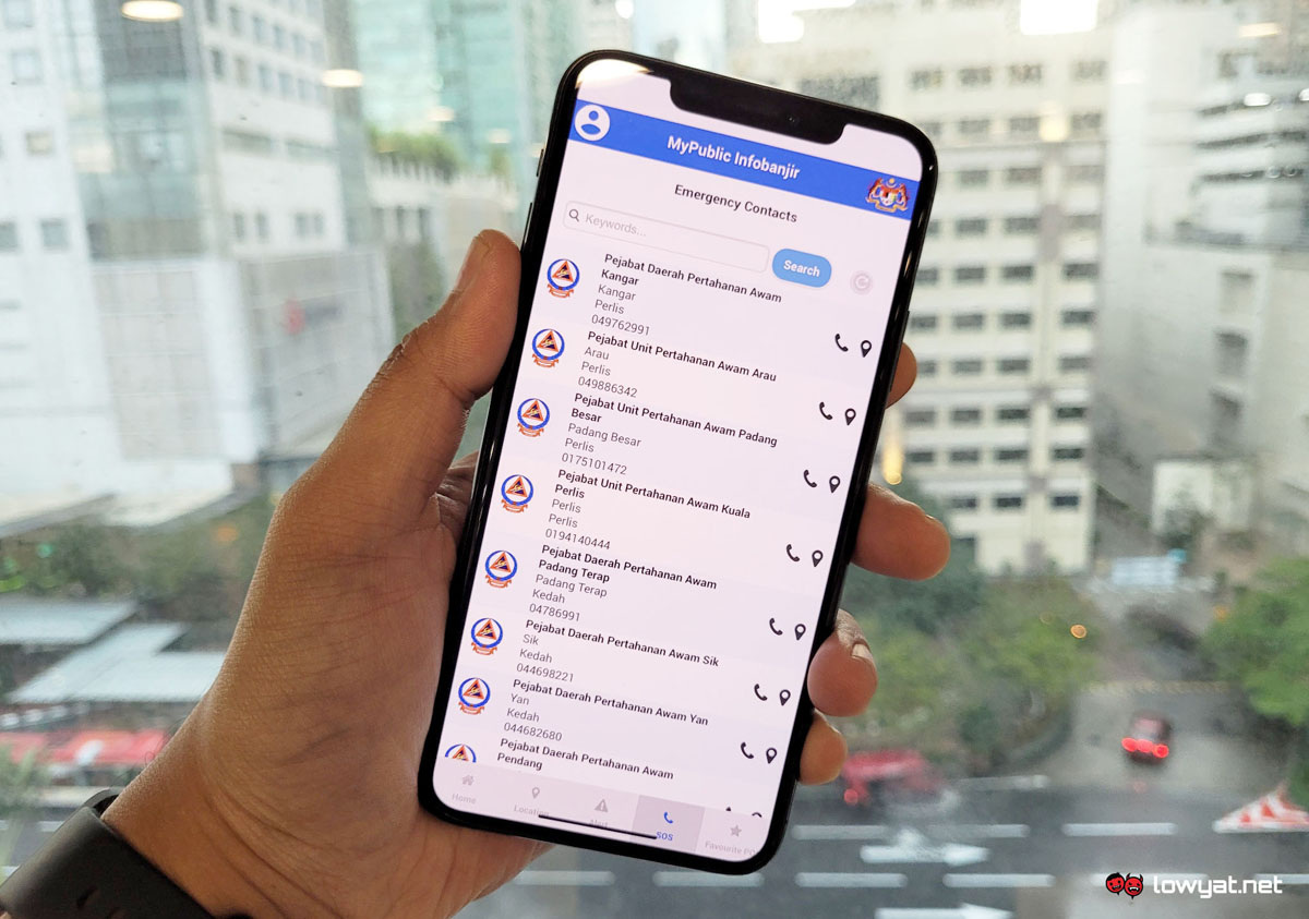
According to a report by Bernama, Environment and Water Ministry secretary-general Datuk Seri Dr Zaini Ujang said that the app enables users to track relevant data such as current river water levels and information regarding floods. This is gathered from hydrological telemetry stations located in 1,500 areas across the nation, which regularly updates the system every 15 minutes.
Through the app, users can enable push notifications for announcements, weather updates, and flood forecasts if they wish. Besides that, there is also a SOS tab which includes contact information for various civil defense district offices located across the nation. MyPublicInfoBanjir originally launched for the public on 12 November 2020, and is available on both iOS and Android mobile devices. Zaini added that the app is highly essential for Malaysians, especially those planning to travel within or across states. Desktop users can also access the original web version of Public Infobanjir via the link provided below. (Source: Bernama / Public Infobanjir)
